When working with Maps, you can zoom in and out using the scroll wheel on your mouse. You can also add zoom control buttons to the map, so that both the zoom control buttons and mouse scroll wheel can be used to zoom in and out.
Zoom Controls on a Map
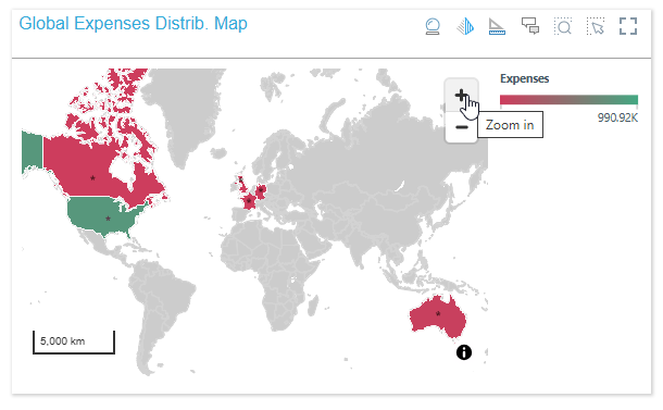
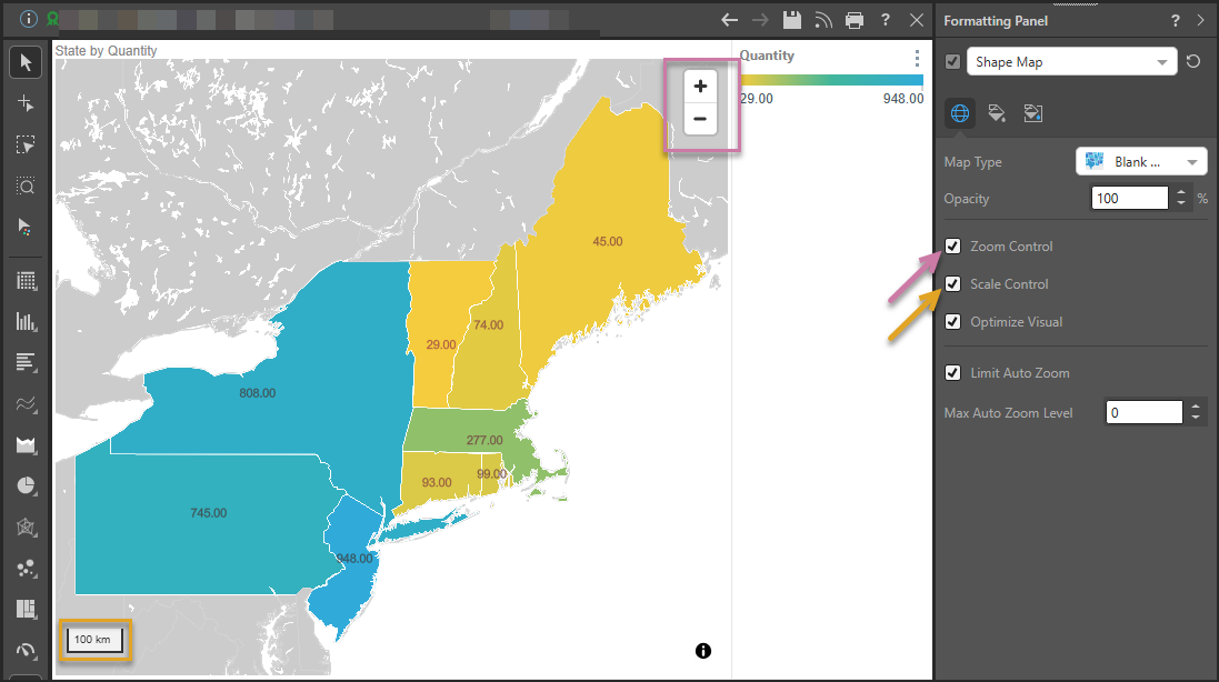
The Zoom Control buttons are shown on the map at the top-right (purple highlight). The related Scale Control, which shows you the current scale for the map, may be shown at the bottom left (orange highlight).
Tilt Reset
The preceding example shows the Zoom control for one of the standard map types. Where 3D Street is selected from the Map Type dropdown list, the zoom control incorporates an additional Tilt Reset option (purple arrow below):
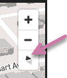
This button typically returns the 3D Map to its default "tilt" (also known as its pitch) and its default direction or bearing. This is typically a flat, top-down perspective, with north at the top. For more information, see Exploring 3D Street Maps.
Enabling Zoom Control
Component Ribbon
Open the Component ribbon and toggle the Zoom Control button to enable or disable the buttons on the map.

Formatting Panel
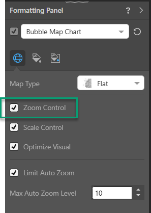
The zoom control buttons can also be enabled or disabled from the Settings tab of the Formatting panel (green highlight below):
Related information
Other Settings
In addition to enabling the zoom control, you can also enable or disable the Scale Control and the Auto Zoom settings from the Settings tab of the Formatting panel.
- Click here for more information about the Formatting Panels for Maps
Zoom Controls at Present Runtime
Zoom controls are also shown at runtime when you open a presentation containing your map visual. For example: